


The Wartime History Still Hidden Across Norfolk
As we approach Armistice Day on 11 November, attention naturally turns to war memorials, remembrance services and the names of those who never returned home.
But across Norfolk and North Suffolk, the landscape itself is also a memorial.
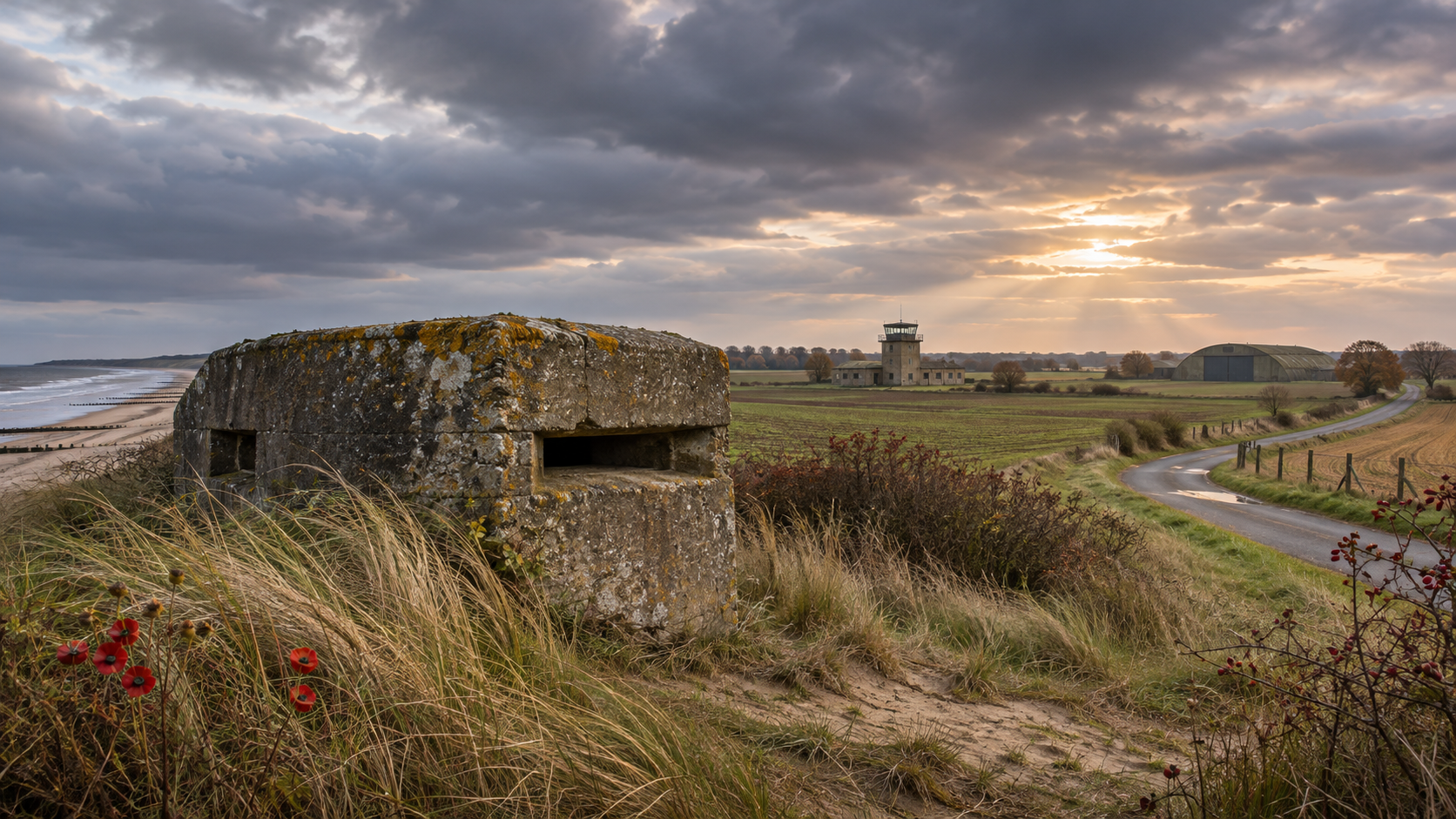
Look carefully and traces of the Second World War are still everywhere: concrete pillboxes beside quiet roads, remains of airfields hidden among farmland, old control towers and defensive positions that once formed part of Britain's preparations for invasion.
Some are surprisingly easy to pass without giving them a second thought.
The pillboxes guarding our coast
Take a walk along parts of the Norfolk and North Suffolk coast and you may come across strange concrete structures left behind from the war.
After the evacuation from Dunkirk in 1940, Britain's eastern coastline was heavily fortified against the possibility of German invasion.
Beaches were protected by barbed wire, mines, anti-tank obstacles, gun positions and pillboxes.
At Caister-on-Sea, a wartime pillbox still survives on the beach. It was probably constructed in 1941 and has occasionally disappeared beneath the sand before storms revealed it again.
Similar defensive landscapes once stretched along the Suffolk coast and around Lowestoft and Kessingland.
Loddon was prepared for invasion
It wasn't only the coast that needed protecting.
Loddon became what military planners called a "nodal point" – somewhere that could be strongly defended to slow an invading force moving inland.
Today, a Second World War heritage trail around the town helps reveal a history that could otherwise easily go unnoticed.
Norfolk's landscape of airfields
Perhaps the biggest wartime legacy is found in our skies – or, more accurately now, beneath them.
During the Second World War, Norfolk and Suffolk became home to an extraordinary network of military airfields.
At Thorpe Abbotts near Diss, the airfield became headquarters of the American 100th Bomb Group, flying B-17 Flying Fortresses. The restored control tower survives today as a memorial museum.
At former RAF Coltishall, meanwhile, important wartime structures remain, including a surviving fighter pen built to protect aircraft such as Spitfires and Hurricanes.
The Americans in North Suffolk
Cross into North Suffolk and the story continues.
Bungay Airfield, also known as Flixton, became home to American bomber crews during the war, including the 446th Bomb Group.
Much of the former airfield eventually returned to agriculture, but its story lives on nearby at the Norfolk and Suffolk Aviation Museum at Flixton.
It's a reminder of just how dramatically life changed in our rural communities when thousands of young servicemen arrived from across the Atlantic.
History hiding in plain sight
More than 80 years later, nature, farming and development have reclaimed much of the wartime landscape.
But it hasn't completely disappeared.
A lump of concrete beside a field, an unusually wide stretch of old roadway or a lonely building in the countryside may have a story that reaches straight back to the 1940s.
This Armistice Day, as we remember the people who served and sacrificed, it's worth looking a little more closely at the landscape around us.
Because here in Norfolk and North Suffolk, history isn't always behind glass in a museum.
Sometimes we're driving, walking or cycling past it every single day.